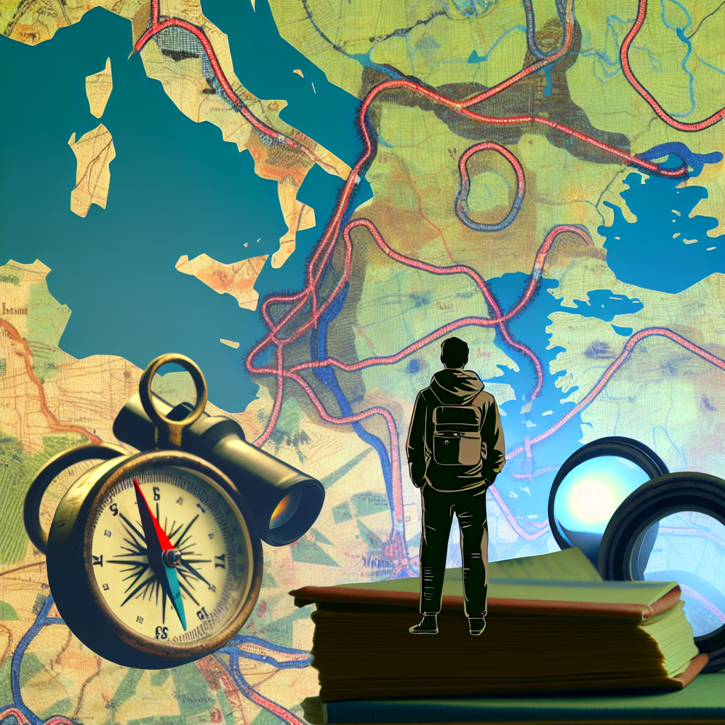
# Lines That Wander: How Maps Tell the Stories of Routes, Roots and Rooftops
I open a dog-eared map on a rain-wet table in a café near the gare; the paper smells faintly of coffee and dust, and my thumb follows a hand-drawn line that climbs a mountain like a heartbeat. Around me, cartography is gossip: an old woman arguing in rapid French about the price of tomatoes, a student tracing a tram line on their phone. Maps are not inert things here. They are invitations.
Maps freeze a moment of human geography — borders, highways, the cluster of lights that marks a town — but they are, always, snapshots of motion. If you let them, they teach you to read the reasons behind the lines: weathered trade routes, colonial detours, labor migrations, suburban sprawl. Treat a map like a local with a story to tell and you’ll ask “why” as often as “where.”
Maps as living stories
Look at an old topographic sheet beside a modern satellite printout and you’ll see the city breathing: a farm track on the older map now a cultural lane lined with cafés and ateliers; an orchard replaced by a block of flats. The difference is not only infrastructure but rhythm. A line that once connected markets now connects morning commutes — and with that change, the neighborhood’s taste in music, the vendors in its market, even the languages children speak on the playground.
When I travel, I carry both the paper and the pixel. The paper gives me texture — the smudge where a hand folded it, the coffee ring I added in a trattoria in Puglia — and the pixel gives me a layer I can toggle: migration overlays, cycling stages, rental heat maps. Together they are a kind of ethnography, a way to enter a place more carefully.
Pedaling through time: the Tour de France in one view
Trace the routes of the Tour de France and you are reading the country’s appetite for challenge. Coastal sprints feel like seaside postcards; the cols of the Pyrenees and Alps are pages of endurance, each hairpin a little rite of passage. A composite map that stitches decades of stages becomes a palimpsest of choices made by organizers, sponsors, and the riders themselves.
If you’re curious by bike (bici, vélo — choose your word and mean it), use such a map as an itinerary. Pick a historic stage, trace it on quiet roads, sleep in the villages that cheered the peleton, and climb the cols with the knowledge of who rode before you. Practical tip: plan your climbs with local guesthouses (gîtes, casas rurales) and buy food from markets rather than fueling exclusively at tourist stops — you’ll taste the region and put money directly into small businesses. And if you can, take a train for part of the route; trains reduce your carbon footprint and offer a slow, scenic reconnection with the landscape.
Borders and belonging: who moves where in the Middle East
Migration maps are not conquest maps. They are maps of work, refuge, and family ties. In a city like Beirut or Dubai, a map colored by the largest immigrant communities reads like a market map: where to find za’atar and ful, where Saturday’s music is Egyptian pop, where a neighbourhood lovingly keeps Ramadan traditions alive even if most of its weekday soundtracks come from half a continent away.
Travelers who look at migration overlays arrive with curiosity rather than assumptions. They can visit a Yemeni-run bakery for coffee and khubz and learn the story of a family that left Aden for work decades ago, or attend a Nepali festival organized by workers who have built a city’s skyline. Good practice: ask before photographing people, offer to buy from local businesses, and hire neighborhood guides who get paid directly for sharing their stories.
Rooms and rents: the map of where people sleep
Maps that show rental density are a social compass. Cities with high rental rates — often university towns or global hubs — have ecosystems for short-term visitors: furnished flats, co-living spaces, and cafés with reliable Wi‑Fi. Places with high homeownership can feel more fixed; long-term residents have roots and rhythms that resist tourist turnover.
If you plan a longer stay, consult rental maps early. In a high-rental city, you can find flexible leases and neighborhood hosts who offer real tips about where to buy produce or which laundromat is best. In a low-rental city, prioritize staying in family-run pensions or homestays that help you meet locals and contribute to the local economy.
Dating a map: sleuthing on paper and pixels
Dating a map is small detective work that trains your eye. Start with big clues: country names and borders. If a map uses old colonial names, or if a political boundary no longer exists, you’ve found an era. Typography matters — hand-lettered script suggests an older sheet; crisp sans-serif often points to a digital or modern print. Look for infrastructural clues: the presence or absence of a motorway, a newly built airport, a railway line that didn’t exist half a century ago.
Printed maps carry other hints: publisher imprints, watermarks, paper texture. Digital maps hide metadata in file properties and geotags. To cross-reference, use online historical gazetteers and local archives — and don’t be shy about asking at a local map society or university department; people love to help if you bring a cup of café and genuine curiosity.
Where to dig deeper: community cartography
There are map communities everywhere now, from local historical societies to Reddit threads and dedicated mapping fora. Share a photo, a puzzling place-name, or a folded corner and you’ll often get a cascade of insights: the old name of a village, why a road bends oddly around a hill (a long-submerged canal, perhaps), or a memory of a festival that once drew crowds to a place now silent.
When you engage with community cartography, do it respectfully. Credit local knowledge, and if a discovery leads you to a small business or a guide, return that value. Sustainable curiosity looks like listening, learning, and paying — not simply consuming.
Make map study part of your travels
Before you go, trace historical routes and migration overlays to pick neighborhoods that promise layered experiences. On the road, compare old maps with what you see: a lane marked “Mulberry Road” on a 1920s map might now host a mural-lined café where teenagers sip cortados. After a trip, annotate your own route maps with names, faces, tastes, and the phrases you picked up — a pot of tagine, the word souq explained by a vendor, the local greeting that unlocked conversation.
Maps are keepsakes when they carry stories.
Takeaway
Maps are invitations to look longer. A cycling-map compels you to climb a col with more reverence; migration overlays teach you whose recipes will flavor the next neighborhood you visit; rental maps point to where short-term life feels possible and where long-term ties run deep. And the simple joy of dating a map connects you to the hands that made it.
So next time you fold a map, ask not only where the lines lead but who drew them, who follows them now, and whose rooftops those lines shade. What map will you trace next — and what story do you hope it will help you find?