# Atlas of Curiosity: How Maps Tell the Stories We Ride, Migrate, and Listen To
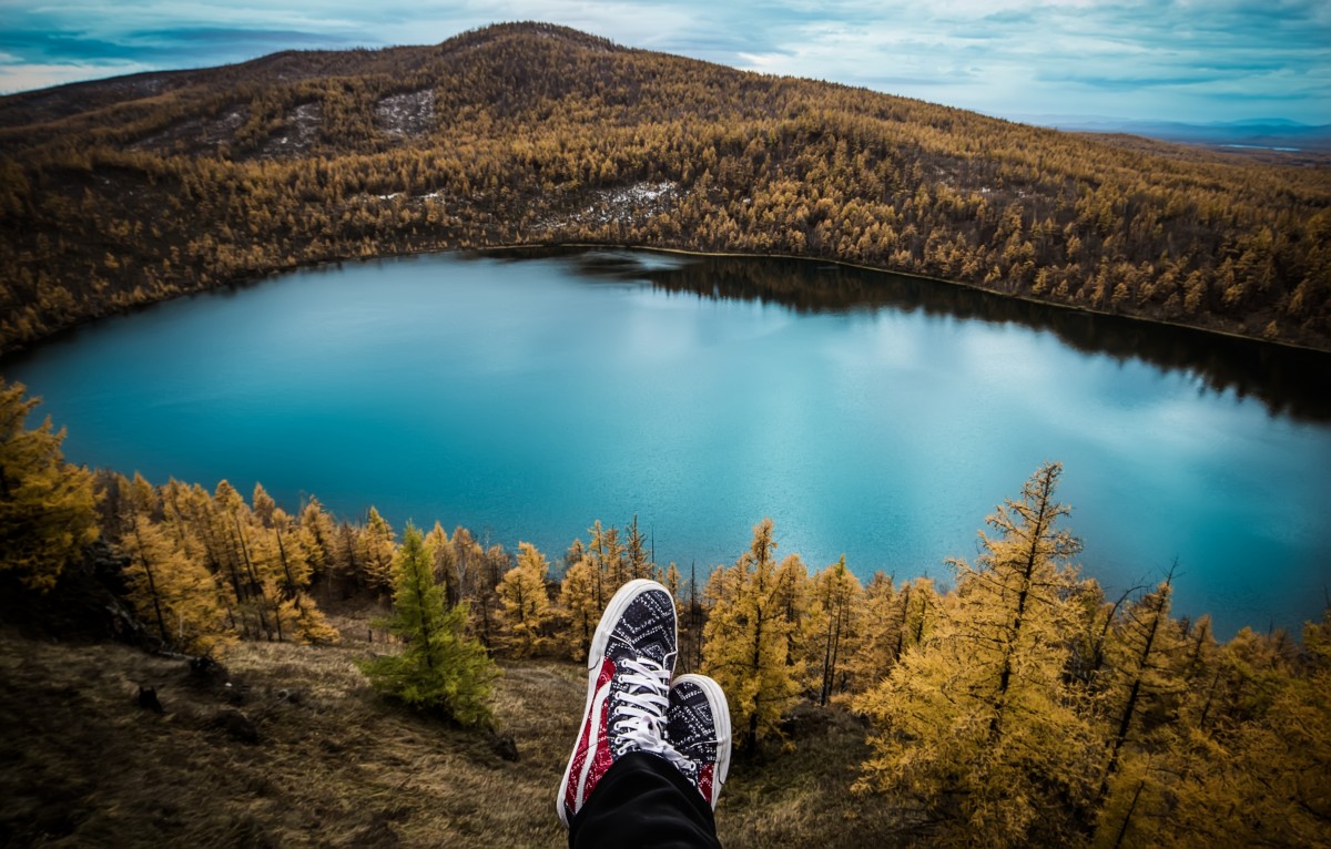
I am standing on a crumbling stone wall above a valley the size of a postcard. A wind that smells faintly of sheep and frying garlic pushes through my jacket; below, a ribbon of road unspools in hairpins and sun-washed switchbacks. In my hands is an old stage map of the Tour de France, the paper softened where a previous owner — perhaps a mechanic or a fan — folded it in the same place again and again. The map doesn’t just tell me where to pedal. It hums with past crowds, punctured tires, and a century of decisions about which villages merited a finish line and which were left to their quiet cafés.
Maps are practical, yes: coordinates, bearings, and mile markers. But opened slow, they become condensed histories, cultural fingerprints, and invitations. Online cartography communities stitch together century-spanning race routes, migration flows, and the soundtracks of towns. For travelers who prefer a paper map over a glowing screen, these charts are ways to wander differently — through time, through migration, and through sound.
Maps as Living Narratives
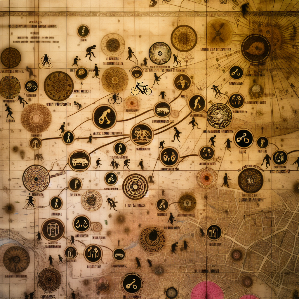
A map isn’t neutral. Someone chose what to show and what to hide: place-names, borders, colors, even which towns get the boldface. A political map declares nations and capitals; a maritime chart obsesses over current and shoal. That choice frames a story. One glance can reveal empires shrinking, trade routes pivoting, or cultural centers shifting seaward. Map-collecting and map-watching become addictive because each sheet is a rolled-up novel.
Pedal Through History: The Tour de France as a Cartographic Saga
Follow an old route and you follow layers: industrial valleys where miners once raced down slag-heaps; alpine cols that were once impassable except on mule-back; coastal roads that doubled as holiday promenades once train service arrived. The Tour’s stage maps are a roadmap of national storytelling. Towns that hosted a finish for glory and media attention now offer quieter rewards — a boulangerie with a lemon tart still warm at noon, a mechanic who remembers the team kit from the seventies, a carved wooden plaque in the mairie commemorating a forgotten winner.
If you plan a cycling pilgrimage, don’t just copy the yellow-jersey stages. Cross-reference old stage maps with modern topography. Look for villages that once hosted the race but are no longer on the circuit; they often have gentler climbs, fewer cars, and cafés where locals will talk about the year the peloton rode through. Pack a small toolkit, respect private property when glimpsing old routes, and support local businesses rather than turning a ride into a spectacle.
Migration Maps: Reading Cultures on the Move
Walk a city with a migration heatmap and neighborhoods read like palimpsests: signage in three scripts, storefronts selling spices that smell like childhood, a mosque’s call close to a church bell. Maps that plot dominant immigrant communities show what census tables flatten — neighborhoods layered with recipes, rituals, and dialects. In the Middle East, for example, maps can trace centuries-old diasporas alongside recent labor flows, revealing pockets where dishes and dialects have braided together.
When you use these maps to explore, do so with humility. Let them be invitations, not checklists. Seek out community-run cultural centres, family kitchens, and small festivals announced on local noticeboards. Ask permission before photographing people or ceremonies; learn a greeting in the local language — a small effort opens doors. Your respectful curiosity turns a map into an empathetic itinerary.
Dating a Map: A Mini Detective Guide
Found a map with a decorative cartouche and a ghost of ink? Dating a map sharpens observational instincts useful on the road. Look for typography and orthography — old spellings point to eras; colonial place-names signal influence. Borders and country names can pin a map to a decade. Under magnification, printing techniques differ: engraving shows incised lines; lithography has a smoother grain. Paper quality and watermarks, insets showing telegraph routes, and publisher imprints are all clues. Share high-resolution photos with online communities if you want a second eye; treat the map as a story fragment, not an object to remove from its context.
Soundscapes on Paper: Mapping Music by Region
Maps that tag most-played or most-successful artists by region turn geography into playlist. They point to where sounds took root: grime in inner-city pockets, folk revivals in coastal coves, indie circles clustered around campuses. For travelers who love both a road and a record store, these maps are a road list: the town where an act cut their teeth, the pub that still hosts a weekly gig, the dusty vinyl shop with the best local selection.
Plot a road trip that pairs place and playlist: morning crate-digging in a seaside shop, an afternoon chat with a local promoter, an evening at a cramped venue where the floorboards remember dancers’ footprints. Buy a record, not just a photo. Tell the shop owner you came because of their map — they’ll tell you which cafes to visit and which house shows to seek out.
How to Explore Maps Like a Traveler
– Cross-reference historical maps with modern layers to find lost hamlets, old ferry crossings, or coastline changes.
– Go local: spend time in community spaces rather than ticking attractions. Eat at family-run restaurants, learn a phrase, and listen.
– Respect context: not all mapped communities want tourists. Ask, don’t assume; hire local guides when possible.
– Create routes: overlay a cycling stage map with music-venue pins and migration markers for a multisensory journey.
– Share thoughtfully: when posting photos or coordinates online, consider privacy and safety for residents.
Takeaway
Maps aren’t merely routes; they’re invitations to slow down and see layers — where people have moved, where stories unfolded, where culture still hums. Pack a map that tells a story, then listen to the people who live it. Ride the older climbs and sit in the cafés that remember the peloton. Walk neighborhoods that show migration in their markets and menus. Follow a melody from a record shop to a hilltop where a video was filmed.
What map will you unroll on your next trip, and whose story will you ask to hear as you follow its lines?