# Atlas of Curiosity: How Five Maps Turn Travel into Storytelling
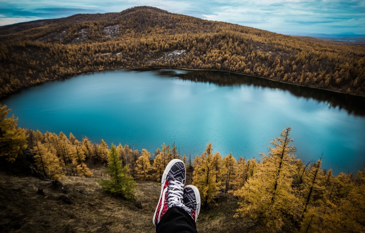
Maps are more than navigation tools; they are compasses for curiosity. I arrive in a small town with a printed map and the light of late afternoon, and already the paper hums with possibility: lines that mark roads, dots that mark stations, and a handful of notations that suggest histories I would otherwise miss. Over the last year I have been following five maps that refuse to be merely functional. Each one rewrites a place into a narrative: a palimpsest of seasons, songs, politics and population. These are maps for travelers who want layers beneath the postcard.
## Maps as storytellers
A good map compresses time, culture and human behavior into a single frame. It is an exercise in selective memory and a prompt to look closer. From the car window you might see only rolling hills; on the map those same hills are where riders once launched attacks, where bands were born, where ballots split along historical fault lines. For those of us who prefer playlists over guidebooks and spontaneous detours over rigid schedules, maps like these are invitations: ride, listen, reflect, and return with a fresh perspective.
## Pedal through time: the Tour de France stages map
I trace a faint blue line with my finger across a page and imagine the road under gravel, the sun low and the smell of coffee from a roadside bistrot. One cartographer traced every Tour de France stage across the race’s history. Seen as a whole the map becomes a palimpsest: old routes overlaid with new ones, mountain passes repeated like rites of passage, and coastal detours that hint at past logistics and politics.
For the road tripper this map is an atlas of potential experiences. Pick a legendary stage and recreate a slice of it on two wheels: the gradient that felt like a wall, the switchbacks where crowds once cheered, the boulangerie that keeps the same chalkboard menu. Ride slowly enough to find roadside monuments — faded plaques to forgotten domestiques, a statue of a local hero — and you will arrive with stories rather than photos.
Tips: avoid peak racing days if you want quiet lanes; follow local cycling clubs for company and local route knowledge; pack a puncture kit and a sense of patience.
## Soundtracks of place: mapping England’s musical icons
Another map pins towns and cities by their most successful musical artists. Walking these places, you feel how sound shapes streets. In Manchester the air tastes of strong coffee and old vinyl; in seaside towns the music seems to carry salt. Vinyl shops, graffiti, and small venues trace an aesthetic geography that a tourist map never will.
Use the map as a playlist with a travel itinerary: spend a day in a musician’s hometown, stop at the record shop where they once bought their first single, and stay late for a local gig. The conversations you have between sets — with a bartender, with a busker — teach you the dialect of a place in ways a museum placard cannot.
Tips: arrive early to smaller venues, buy a record or a poster to support local businesses, learn a phrase in the local dialect and drop it into conversation respectfully.
## History in color: a 1924 election map
Maps of past elections are more than political curiosities; they are snapshots of social memory. A 1924 presidential election map, drawn decades after the Civil War, reveals political loyalties that echo through landscapes: county borders that carry grudges, migration patterns that changed demographics, and economic shifts that altered allegiances.
Traveling with this map, I visit county seats, small museums and town halls. The clerk at a county museum shows me a trunk of letters; an elderly farmer points to a monument and tells a version of a story that differs from the text. Listening to local oral histories adds texture: history becomes human and sometimes messy.
Tips: approach oral histories with humility, cite local sources if you share stories publicly, and visit museums outside major cities where archives live.
## Tomorrow’s contours: China’s fertility rate by province (2024)
A demographic map of provincial fertility rates reframes what travel will look like in decades to come. In provinces where birthrates decline rapidly you notice subtler shifts: quieter playgrounds, more services aimed at older adults, and a different rhythm to weekdays. In faster-growing regions, markets pulse with young families and impromptu street festivals.
For the curious traveler, demographic maps are keys to understanding where cultural energy concentrates and where traditions might be in gentle retreat. They guide questions about schools, festivals, family-owned shops and patterns of care.
Tips: when visiting communities affected by demographic change, prioritize businesses that employ local families, ask about community initiatives, and consider the impact of your visit on fragile local economies.
## How to use maps on your next journey
– Follow threads and creators: map communities online curate fascinating layers. Follow cartographers and local historians on social platforms and join forums to find lesser-known maps.
– Turn a map into an itinerary: choose a theme — cycling routes, musical origins, or historical episodes — and stitch a route that connects several points. Travel light and keep timelines flexible.
– Bring context: read local histories, listen to interviews, and talk to shopkeepers. Maps give coordinates; conversations give life.
– Make your own map: collect photos, notes and audio and pin them to a custom map for a modern travel diary you can share with friends and family.
– Respect stories: maps sometimes touch on sensitive histories. Approach sites and memories with curiosity and care; ask permission before recording or publishing personal accounts.
## A way of traveling
On a rain-soft morning in a village that once hosted a Tour stage, I shelter in a bar where the owner remembers champions who passed through and plays a cassette with the band that put the town on the musical map. Outside, a noticeboard carries an old election poster faded to the color of tea. Each of those fragments is part of a larger geography: routes people took, songs they sang, and decisions that shaped where families live now.
Maps are telescopes and time machines. They let you observe large patterns and zoom into intimate moments. Whether you are tracing a champion’s climb, following the birthplace of a favorite band, stepping into 1920s political landscapes, or studying demographic pulses, each map amplifies what a place feels like. For the wandering generation the prize is not only seeing a new place but understanding why it looks, sounds and moves the way it does.
Where will your next map take you, and what story do you hope to uncover along the roads less wandered?