# From Coastline to Cactus: Planning a Southern Road Trip That Actually Feeds the Soul
_By Elena Rodriguez_
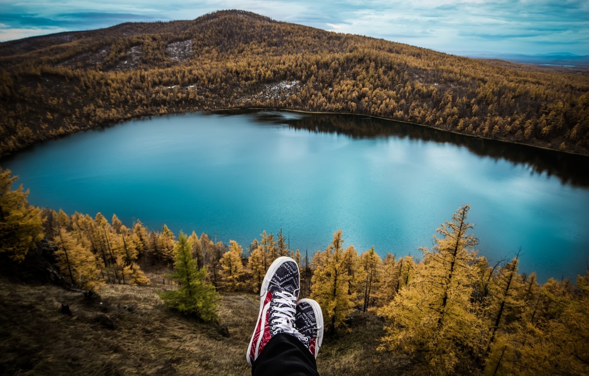
There’s a morning in the Deep South when the air tastes like brine and coffee, and your dog naps with one paw out the van window while gulls stitch the horizon. The road ahead smells of gasoline and magnolia; later it will smell of creosote and cottonwood. That first, small hour — when light gilds the porch swing of a town you didn’t plan to stop in — is the promise of a southern arc: varied climates, small cuisines, and people whose stories unfurl slowly like the map on your lap.
## Why choose the southern route?
Drive south and you’re asking the map for moods, not just mileage. The southern corridor stitches together barrier islands and bayous, barbecue temples and desert washes, the hush of pine forests and the sudden bright violence of desert bloom. If I-80 felt relentless and flat, the south is a set of chapters: coastal towns that taste like salt and fried oysters, swampy hedgerows humming with cicadas, and high-desert skies that pour stars like loose coins.
This route is a study in microclimate and micro-culture. It asks you to slow down where a porch promises a long talk, and to speed up where the sun is falling and there’s a canyon to catch before dark.
## NYC to Jacksonville: coastal detours that reward you
Don’t treat the East Coast leg as a checkbox. Break it into human-sized chapters and look for sensory resets:
– Philadelphia and Baltimore: first, quick doses of history and honest deli bread. Walk the riverfront, eat a soft pretzel, and let the city’s rhythm re-teach your feet how to wander.
– Delaware beaches or Rehoboth: let salt and wind reset the road-weary senses before the humid stretch south.
– Outer Banks, NC: barrier island air, wild horses that move like slow ghosts at dusk, and beaches where your dog can run until the horizon flattens into a single warm color.
– Wilmington and Beaufort, NC: small port towns where wood smoke, seafood, and friendly nods are the local currency.
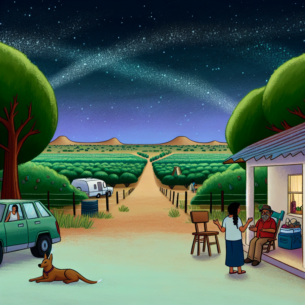
– Charleston and Savannah: architecture that breathes history, lowcountry oysters, and long porches where time dilates. Stay longer here if you can — these are places for lingering.
Timing tip: if you’re reserving energy for long western legs, keep the East Coast to 1–2 substantial pauses and use other stops for short walks and snacks. Dogs need stretch breaks; humans need porch time.
## Jacksonville to NorCal: a dog-friendly, time-smart westward spine
You’ve got a co-pilot with paws, a rule to avoid I‑10 between El Paso and LA, and roughly 12 days. Here’s a spine that keeps miles honest and memories rich:
Jacksonville → Atlanta (music, coffee, dog-friendly patios) → Birmingham (barbecue stops) → New Orleans (optional; for time consider a drive-through sonic and culinary overture) → Austin (live music, vegan tacos, long patios) → San Antonio → north through West Texas (Fort Davis, Alpine) → New Mexico (White Sands, Santa Fe) → Northern Arizona (Flagstaff, Sedona, Grand Canyon) → NorCal via I‑5 or a coastal detour.
Why tilt north from Austin? It sidesteps the dense I‑10 corridor and delivers deserts, wide skies, and cultural layers — pueblos, acequias, and small museums that tell non-tourist stories.
Expect 4–7 hours of driving most days if you’re covering 2,500–3,000 miles in 12 days. Key rhythm: fewer hops, longer stays in places that deserve it. Let one night be unplanned; that’s where the best detours live.
## Camping between Tallahassee and Texas: where to sleep under different skies
If you start in Tallahassee and head west, aim for coastal pockets and forested hides that welcome dogs and slow evenings:
– Gulf Islands National Seashore (FL/MS): salt air, dunes, and beaches where campsites open to the sound of surf.
– Florida Panhandle preserves (Topsail Hill, Camp Helen): emerald water, old dunes, and soft sand that glows at sunset.
– Alabama’s Gulf State Park: reliable facilities and miles of coastline.
– Mississippi coast state parks: quieter, underrated stops with shrimp shacks and low-key hospitality.
– Fontainebleau State Park, LA: marsh paths and river light within striking distance of New Orleans for music and food.
– East Texas forests (Sabine, Sam Houston) and Big Thicket: a transition into pines, dappled shade, and cooler evenings.
Camping tips: read pet rules for each site (many parks require dogs on leash and have restricted trail access), stash three liters of water per person per day in summer, and prioritize sites with shade. If you plan campfires, check burn bans — the civilized magic of a small fire depends on everyone being careful.
## Small rituals that make a trip feel like travel
Carry a cheap instant camera and a pocket Moleskine alongside your phone. Paper maps are no affectation — they’re a failsafe when cell drops into thin air across desert stretches. Use apps for campground reservations but leave at least one night open for serendipity: a diner with perfect pie, a local musician’s porch show, a neighbor who wants to swap stories.
Schedule 30–90 minute no-phone windows: walk the dunes at dawn, step into a small museum, or ask a fisherman about the best bait. Those windows are where stories form.
## Cultural curiosity and responsibility
Southern roads cross Indigenous lands, Creole communities, and towns with deep, living histories. Learn place names, ask before photographing people or private shrines, and buy from local businesses — from a taquería in Austin to a potter in Taos. In the Southwest, respect signs about closed or restricted sites: many locations are sacred and require permits or silence.
Leave no trace: pack out trash, keep dogs leashed where required, and follow local fire regulations. Your smallest acts of respect help keep these fragile places whole.
## Takeaway
A southern cross-country route is less a checklist and more a practice in listening: to porches, to desert winds, to the way a town tells you how long you should stay. Pack lightly, plan the spine, and let the margins fill with whatever you find: a plate of oysters at dusk, a mapmaker in a roadside shop, a night under a sky that will not fit in your camera.
Where will you slow down long enough on the map to let a place change you?