By Elena Rodriguez
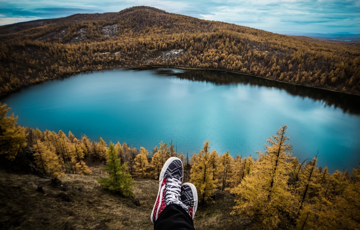
There’s a quiet thrill when a map unfurls on a café table: the paper breathes under your fingers, inked lines crisscross like veins, and the world shrinks to the size of your cupped hands. I remember doing this in a sunlit auberge at the base of a mountain pass, café crema steaming beside the paper, a chorus of clipped French and distant cowbells in the valley. The map didn’t only point toward a climb; it pointed toward a day — the climb’s shadow, the café where locals argued cycling tactics, the shepherd’s dog that might run alongside you on a slow descent. Maps, for me, have always been invitations — to pedal, to pause, to belong for a few hours in someone else’s routine.
Why maps feel like the new travel diary
Maps are no longer just printed guides. Online communities annotate routes, trace migration flows, mark favorite markets and memorialize roadside cafés. That layering turns cartography into conversation: someone pins a childhood bakery in Naples; another overlays a century of race stages across the Pyrenees. These shared maps distill complex human behavior into a single glance and give you a way in — not to consume, but to listen.
Treat a map like a friend who knows the city’s rhythms. A street name might hint at an immigrant quarter; a cluster of small markers could be a weekly mercado where languages tangle over fresh fish. Let those hints steer you toward neighborhoods that reward slow wandering and encounters that feel lived‑in, not staged for a snapshot.
Pedals and passages: using the Tour de France as a travel spine
There’s something cinematic about a peloton slicing through mist at dawn. Maps of the Tour de France — especially those that layer decades of stages — become a kind of living atlas of sport and landscape. You can see the spine of the race: alpine switchbacks where legends gasped for air, wind-bent flats along the Manche, and tiny communes that roll out corduroy ribbons of flags for a single summer morning.
If you cycle, pick a memorable stage and build around it. Ride the lower slopes the day before the big climb to feel how the land eases into gradient; linger at a bar where widowers and kids gather to watch replays on a small TV; follow the scent of frying potatoes from a camping van selling tartiflette at the hairpin. Look for roadside plaques or faded posters commemorating a historic breakaway. The map becomes a pilgrimage: every kilometer is threaded with stories, sweat and the smell of coffee brewed in Thermos flasks.
Following footprints: migration maps and cultural hubs
Migration maps show where people moved, settled and remade place. They’re the maps of belonging — barrios where languages overlap, of storefronts with hand‑painted signs, of festivals that flood a square with the sound of a homeland. Use these maps to find authentic food, markets and craftsmanship, but arrive with humility.
Approach these neighborhoods like a guest: learn a phrase or two (¡buen provecho!, grazie, merci), ask before photographing, and spend money at family‑run tiendas rather than chain stores. If a map shows a tight-knit diaspora community, time your visit for a local festival or market day. The flavors you’ll find — a flaky sfogliatella in Naples, a soulful tajine in a Parisian quartier, a tiny taquería where tortillas are pressed against the heat of a comal — are the maps’ best footnotes.
Gateways and fast lanes: reading flight‑network maps
Flight maps are practical magic. A direct transatlantic to a secondary European city (think Porto, Dublin, or Bilbao) can be a shortcut to quieter, richer itineraries — fewer hours on a bus, more time exploring a barrio where locals actually live.
Don’t chase the cheapest fare alone. Look at where your flight deposits you relative to what you want to see. Seasonal routes matter: summer regional flights open new options; winter schedules contract. Consider arrival times too — a late arrival can give you a shadow‑soft first night wander; an early touchdown might reward you with a long, luminous day. Always map connections to local transit and check short‑term rental regulations; some cities cap Airbnb nights or require permits that change availability and price.
Home base: what rental patterns tell you about a city
Maps of rental shares reveal a city’s tempo. Neighborhoods heavy with renters hum with a transient, youthful energy — coffee shops, coworking nooks, late-night bodegas. Ownership-heavy areas tend to be quieter, anchored by family bakeries, schools and parks. For a long weekend I often choose a rental‑dense barrio when I want buzz and late-night discoveries; when I crave neighborhood rituals — morning markets, park benches where grandparents play dominoes — I book in steadier quarters.
A word on sustainability: be mindful of how your short‑term stay affects residents. Favor licensed lodgings, follow local rules, and leave a positive footprint: eat at local restaurants, shop from neighborhood makers, and avoid pushing rents higher with irresponsible booking behavior.
Practical ways to use maps on your next trip
– Layer maps. Combine a cycling stages map with flight‑hub maps and a rental‑share map to find routes that are both reachable and rewarding.
– Seek authenticity thoughtfully. Use migration maps to identify where foodways and festivals are most vibrant; go with curiosity and a willingness to learn.
– Move slowly. Maps reward slow reading. Sit at a café, note the rhythms of the street, and follow one lane until it narrows into a passage that leads somewhere surprising.
– Be adaptable. Races change courses, airlines alter routes, and neighborhoods evolve. Treat your map as a living document and leave room for serendipity.
A final scene: the map folded back into a pocket, your palms still smelling faintly of espresso and road dust. You’ve followed a line across a page and found a market where a woman sells olives under a painted umbrella, a cyclist waves from the next rise, a child chases pigeons through an alley where a mural remembers an older migration. That is what maps do: they point to where people live their days, where stories accumulate in the shape of streets and slopes.
Maps are invitations, not instructions. Read them with curiosity, travel with respect, and let the cartographic crumbs lead you to the corners where a place truly breathes. What line on a map will you follow next, and what story do you hope to find there?