# Pilgrimages, Plans, and Park Closures: How to Travel the National Parks Right Now
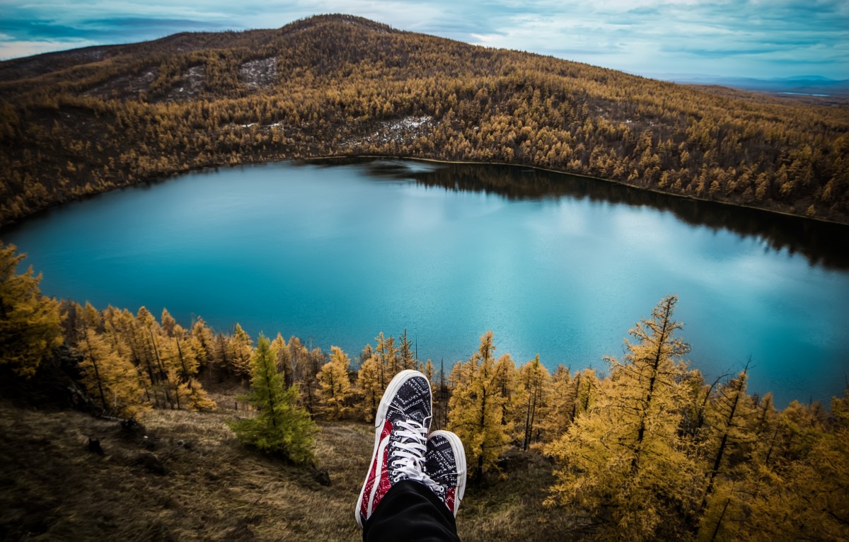
There is a moment I chase — the engine softening, sage-smoke slipping across the windshield, the canyon walls opening like a stage curtain. The light in those first minutes is thin and gold; your shoulders drop as you inhale the dry, resinous air and feel a small, honest hush. That hush is fragile. A bureaucratic shift, an unexpected storm, or a park gate left unmanned can turn an altar into an obstacle in a single night.
This is for the people who plan big weekends and quiet September escapes alike: millennials with a fistful of PTO, Gen‑Xers plotting a return pilgrimage, and anyone who wants to make the parks part of a deeper, steadier life. Below: what the park community has been saying, stitched with ways to travel kindly, smartly, and with a curiosity that listens.
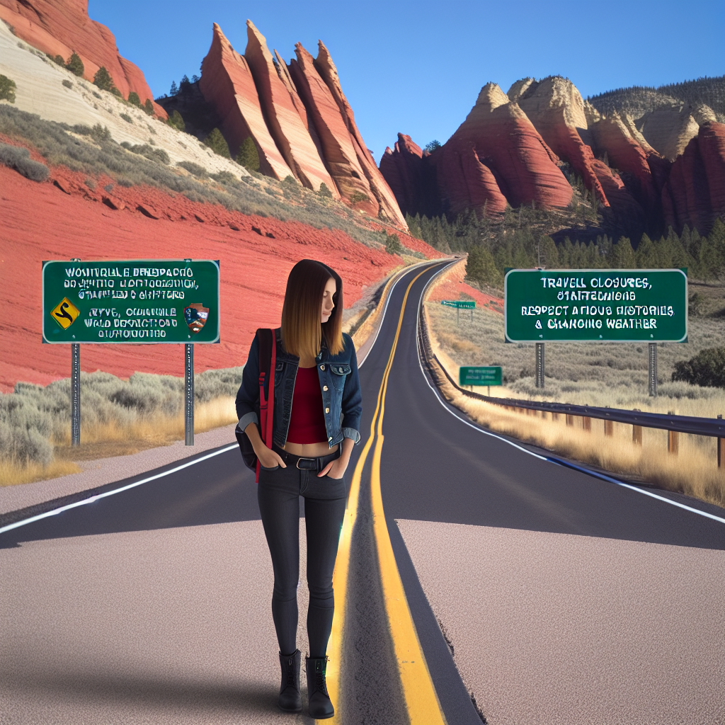
## Check the park status before you wander
Start with facts. The National Park Service changes operations fast — partial closures, reduced services, or unstaffed gates ripple into shuttle schedules, trail access, and search‑and‑rescue response times. Before you toss a sleeping bag in the back, open the park’s official NPS page, follow the park’s verified social feeds, and peek at the county tourism site for local nuance.
When a shutdown looks likely, community megathreads and regional forums become a single‑pane snapshot: hikers report closed restrooms, locals post photos of lot congestion, and visitors link to official notices. Use those threads for on-the-ground context — but treat them as tips, not policy. If safety depends on it, confirm with an official source.
Practical quick‑checks:
– Bookmark the park’s NPS page and sign up for alerts.
– Follow one local ranger account and one visitor‑center account on social media.
– Save county road‑condition pages for the drive into remote gates.
## How to ask for planning help (and get fast, useful answers)
The internet is a generous place for route ideas, but brevity and clarity will return generosity tenfold. When you post: include where you’re starting from and whether you’ll fly or drive; trip length including travel time; accommodation style (camping, lodge, hotel, backcountry); who’s coming; must‑see sights and activity preferences; expected hike distances and fitness; and any nonnegotiables (dog‑friendly, ADA access, little driving).
A crisp, detailed post saves everyone time. Add photos of your vehicle or kit only if you want gear-specific advice. Close with askable options: “Which loop avoids steep exposure?” rather than “What should I do in Zion?”
## Make a first visit memorable: a note from Zion
First visits often fold into a single image: canyon light slicing the amphitheater, or the scent of rain on slick sandstone. In Zion, shuttle logistics still shape how people move. If Angels Landing is full or closed, try reddish slots like Observation Point or quieter rim loops at first light and last light. Walk slower than your camera shutter; the place reveals itself in a dozen small frames — chewing on a granola bar while canyon wrens chatter, the sudden cool bloom of a side wash.
Bring reverence. Many parks sit on ancestral lands — learn a little about those histories before you go. Read the visitor center placards, attend a ranger talk, and, if offered, sit in on a cultural demonstration. That listening changes your footprint from consumer to guest.
## Return pilgrimages: why people go back for a landmark
People return not to collect pictures but to remember a place’s contour in their own life. Some mark that relationship with tattoos of the skyline, some return each fall to catch the same ridge silhouette. If you ritualize a site — with photos, a small ceremony, or ink later — do it intentionally and respectfully. Leave no trace is more than a slogan: it’s the habit that keeps the place whole for the next person who needs to stand where you stood.
If you’re getting a tattoo inspired by a park, consider waiting until you’re back in town and choose an artist who understands the cultural weight of the imagery. Avoid sacred symbols without permission.
## Solo travel in shoulder season: why mid‑September in Grand Teton sings
I once watch elk shift under a copper sky in mid‑September; the light in the Tetons is both clear and forgiving. Shoulder season brings luminous mornings, thinner crowds, and the rub of rutting hooves in the valley. But it also brings shorter daylight and early snow. Travel with a margin: layers, a headlamp, a paper map, and a clear exit plan.
Tell someone your route and timeline. Download permits and print them. Know the location of the nearest staffed visitor center or ranger station — outside peak months, staff numbers shrink. If a trail has “scramble sections,” know your exposure comfort and pick a less-committing option if you’re solo.
## Respect, logistics, and community support
Parks are ecosystems and economies. When staffing is lean, local guides, outfitters, and small businesses carry the load. If closures rearrange your plans, stay in a nearby town, eat at a family‑run cafe, and hire a guide who knows backroads and current conditions. Your dollars keep a small-town library open and a shuttle running.
Carry redundancy: permits downloaded and printed, multiple charging options (battery bank + solar), small bills and cards, and an alternate itinerary if the iconic trail is blocked.
## Takeaway: leave the place better than you found it
Parks reward patience and preparation. Check official updates early, ask for help with exact details, and travel with curiosity and humility. Whether it’s your first canyon gasp at Zion, a quiet Tetons walk in September, or a tattooed reminder later, plan with intention so these places keep offering that wild pulse to the next rider down the road.
### Pocket checklist
– Confirm park status on NPS + local county sites
– Post specific trip questions (include start point, duration, style)
– Pack for shorter days and variable weather (layers, headlamp)
– Bring printed permits and backup power
– Learn a little local and Indigenous history before you go
– Support nearby businesses and local guides when services are limited
I travel to remember what silence feels like and to return the favor of that feeling by treading lightly — what place are you keeping on your map, and how will you honor it on your next visit?